Eastern Bhutan · Moderate
Merak–Sakteng
Across the whole country to the Brokpa yak herders of Merak and Sakteng, out through Assam.
- Days
- 1413 nights
- On trek
- 7 days6 nights camping
- Distance
- about 50 kmon foot
- Highest
- 4,153 mNachung La
- Best months
- Spring, autumnMarch to May, September to November
- From
- USD 4,670per person, all fees in
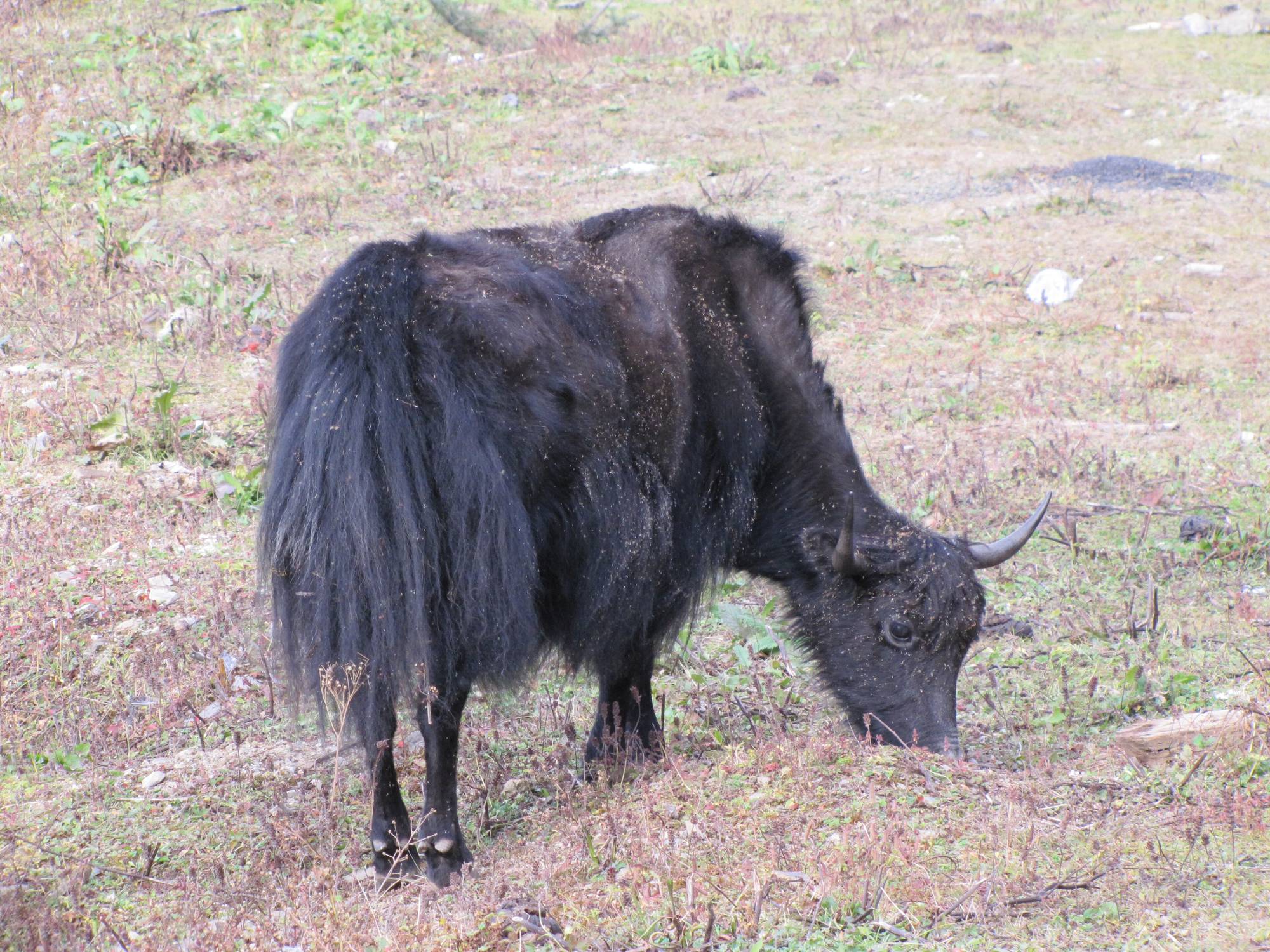
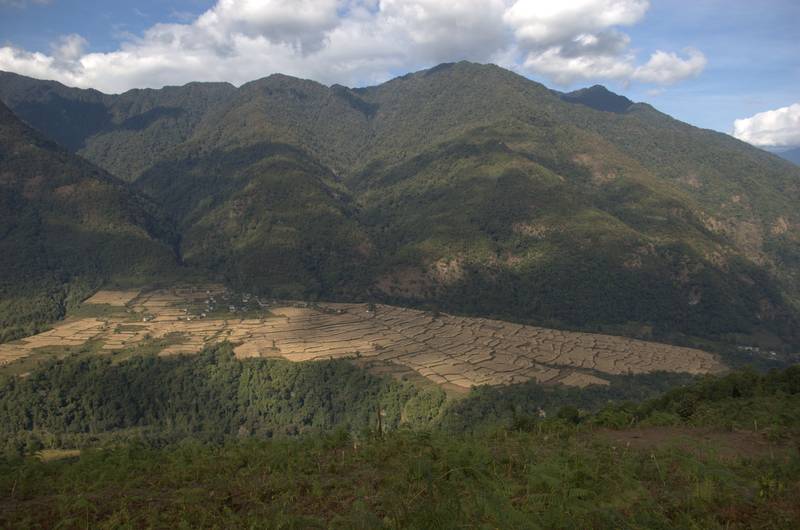
Photo: Chuck Moravec, CC BY 2.0
Overview
Merak–Sakteng: the far east, coast to coast
Merak and Sakteng are two highland villages in Bhutan's far east, home to the Brokpa, semi-nomadic yak herders with their own dress and their own felt hats. Few visitors make the journey.
This trip crosses the whole country by road over four high passes, walks from Merak over Nachung La (4,153 m) to Sakteng and down to Phongmey, then leaves Bhutan by land through Samdrup Jongkhar to Guwahati in Assam. No backtracking.
Is it for you? Moderate
Fit walkers, 5 to 7 hours a day. One pass over 4,000 m. Long road days before the trek.
Highlights
- Two nights in Merak and two in Sakteng, in certified homestays where available
- Nachung La (4,153 m) between the two villages
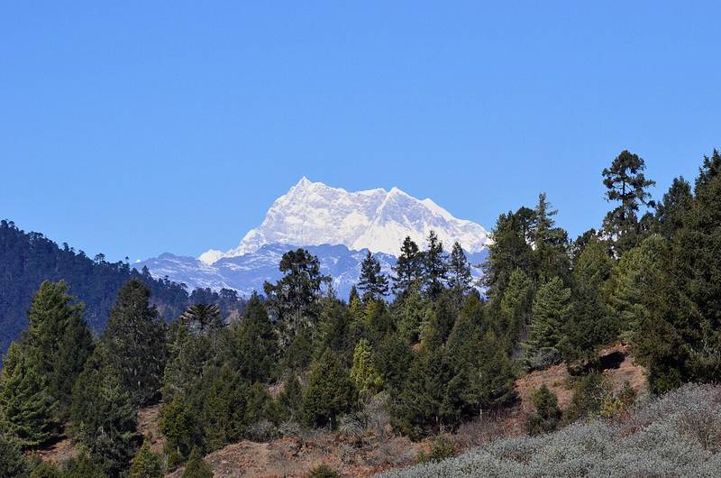
- Sakteng Wildlife Sanctuary, where locals say the migoi (Bhutan's yeti) lives
- The full lateral road east, over Pele La, Yotong La and Thrumshing La
“We stayed with a Brokpa family in Merak and it was the highlight of the whole trip, they were so welcoming. We didn't see another tourist on the trail for five days. The drive across the country to get out there was a bit of an adventure in itself too, but totally worth it. Already planning our next one!”
Route
Merak to Phongmey
The line follows the trail as mapped in OpenStreetMap. Dashed sections are approximate, where the trail isn't mapped. Camps are green, passes orange.
The route map needs JavaScript. The stops are listed below.
- Merak 3,500 m
- Nachung La 4,153 m
- Miksa Teng 3,079 m
- Sakteng 2,950 m
- Joenkhar Teng 1,733 m
- Phongmey 2,170 m
Elevation profile
Day by day
The itinerary
Distances, times and heights are typical. Your guide adjusts the plan to the weather and the group.
Day1Arrive in Paro
Fly into Paro (2,200 m). Airport pick-up and an easy afternoon.
Night: Hotel, Paro
Day2Paro to Punakha
Over Dochu La (3,150 m) to the Punakha valley, about 4 hours. Optional rafting.
Night: Hotel, Punakha
Day3Punakha to Bumthang
A long road day over Pele La (3,400 m) and Yotong La (3,425 m) to Jakar in Bumthang.
Night: Hotel, Jakar
Day4Bumthang to Mongar
Over Thrumshing La (3,780 m), the highest pass on the road east, then a dramatic descent through forest to Mongar.
Night: Hotel, Mongar
Day5Mongar to Trashigang
A shorter drive to Trashigang, the biggest town in the east.
Night: Hotel, Trashigang
Day6Drive to Merak
- Sleep at
- 3,500 m
67 km on an unpaved road, 2 to 3 hours, up to Merak (3,500 m).
Night: Homestay or camp
Day7A day in Merak
- Sleep at
- 3,500 m
Acclimatise and spend the day with your Brokpa hosts: the yak herds, butter and cheese, weaving.
Night: Homestay or camp
Day8Over Nachung La to Miksa Teng14 km · 6–7 h
- Distance
- 14 km
- Walking
- 6–7 h
- Sleep at
- 3,079 m
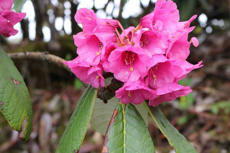
Climb to Nachung La (4,153 m), the high point, then down through rhododendron to camp at Miksa Teng.
Night: Camp
Day9Miksa Teng to Sakteng14 km · 5–6 h
- Distance
- 14 km
- Walking
- 5–6 h
- Sleep at
- 2,950 m
Down to a river, up again, and into Sakteng (2,950 m).
Night: Homestay or camp
Day10A day in Sakteng
- Sleep at
- 2,950 m
Walk in the Sakteng Wildlife Sanctuary (650 km², set up in 2003) or around the village.
Night: Homestay or camp
Day11Sakteng to Joenkhar Teng6–7 h
- Walking
- 6–7 h
- Sleep at
- 1,733 m
A long descent into warmer country, to Joenkhar Teng (1,733 m).
Night: Camp
Day12Joenkhar Teng to Phongmey, drive to Trashigang12 km · 5.5 h
- Distance
- 12 km
- Walking
- 5.5 h
The last walk out to the road at Phongmey, then about an hour to Trashigang.
Night: Hotel, Trashigang
Day13Trashigang to Samdrup Jongkhar
South all day to the border town of Samdrup Jongkhar.
Night: Hotel, Samdrup Jongkhar
Day14Into Assam and fly home
Cross the border and drive 3 to 4 hours to Guwahati airport. You need an Indian visa or e-visa for this exit.
On the trail
Dates and prices
Set departures
Groups of 2 to 8. Every departure runs with two trekkers; “Guaranteed” means it's already confirmed. Private dates are possible for any group.
| Start | End | Price | Availability |
|---|---|---|---|
| Sat 10 Apr 2027 | Fri 23 Apr 2027 | USD 4,670 | Guaranteed |
| Sat 8 May 2027 | Fri 21 May 2027 | USD 4,670 | Open |
| Sat 2 Oct 2027 | Fri 15 Oct 2027 | USD 4,670 | 2 places left |
| Sat 30 Oct 2027 | Fri 12 Nov 2027 | USD 4,670 | 2 places left |
| Sat 8 Apr 2028 | Fri 21 Apr 2028 | USD 4,670 | Open |
Single room and tent: add USD 40 a night. Prices are per person, twin share.
Hold a placeAdd-ons
Make it your own
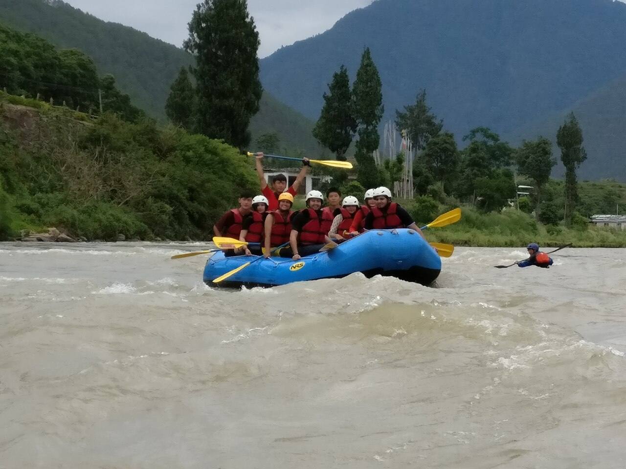
White-water rafting, Punakha
USD 90 pp
The Mo Chhu is class I to II, about two hours on the water, and needs no experience. The Pho Chhu starts with class IV rapids and eases to class III: for confident swimmers aged 14 and over (USD 120). Best March to May and September to November.
Punakha valley mountain bike ride
USD 110 pp
A half-day ride on farm tracks and quiet roads along the Mo Chhu, with the support vehicle never far away. Bike, helmet and bike guide included.
Sleeping bag hire
USD 40 per trip
A four-season down bag rated to -20 °C, cleaned between trips, with a cotton liner.
What's included
Everything on the mountain
Included
- A trekking guide certified by Bhutan's Department of Tourism, from arrival to departure
- Cook, kitchen crew and horsemen, with ponies (or yaks above Laya) to carry camp and bags
- All meals on trek; breakfast, lunch and dinner in town
- Two-person tents, dining and toilet tents, foam and inflatable sleeping mats
- Certified 3-star hotels in town, twin share
- Private vehicle and driver for every transfer
- Sustainable Development Fee (USD 100 a night) and your Bhutan visa (USD 40)
- National park and trekking permits, and 5% GST
- Satellite phone and full first-aid kit on every trek; portable altitude chamber on treks above 4,500 m
Not included
- International flights to and from Bhutan
- Travel insurance with helicopter evacuation cover (strongly recommended)
- Sleeping bag (hire one from us)
- Tips for the crew, drinks, laundry
- Single room and tent (USD 40 a night)
Questions
About this trek
Why leave through India?
Driving back west takes three days. Exiting through Samdrup Jongkhar and flying from Guwahati saves them. You'll need an Indian visa or e-visa.
Do we stay with families?
Where certified homestays are available in Merak and Sakteng, yes. Otherwise our crew camps beside the village.
Can we fly instead of driving east?
Domestic flights in Bhutan are few and change by season. We'll check when you book, but plan on the road.
More on visas, the SDF, altitude and kit in Plan your trip.
Also consider
Other treks


Ready for Merak–Sakteng?
Tell us which departure suits you, or ask for private dates. We reply within a day.